Paypay:Indonesia Java location map.svg

Orihinal nga paypay (SVG nga fayl, ginbabanabanahan nga 1,382 × 740 nga mga pixel, kadako han fayl: 174 nga KB)
Dalikyat nga pulong
| Tigtulidong |
Quadratische Plattkarte, N-S-Streckung 101 %. Geographische Begrenzung der Karte:
Equirectangular projection, N/S stretching 101 %. Geographic limits of the map:
|
|
| Petsa | ||
| Ginkuhaan |
Kalugaringon nga buhat, using
|
|
| Awtor | NordNordWest | |
| Pagtugot (Gin-uutro paggamit inin nga file) |
This file is licensed under the Creative Commons Attribution-Share Alike 3.0 Germany license.
 Ini nga file in nakalisensya ha ilarom han Creative Commons Attribution-Share Alike 3.0 Unported license.
|


|
This map has been made or improved in the German Kartenwerkstatt (Map Lab). You can propose maps to improve as well.
|
Kaagi han paypay
Pidlita an adlaw/oras para makit-an an fayl nga naggawas hito nga oras.
| Pitsa/Oras | Thumbnail | Mga dimensyon | Gumaramit | Komento | |
|---|---|---|---|---|---|
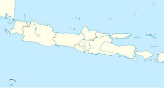
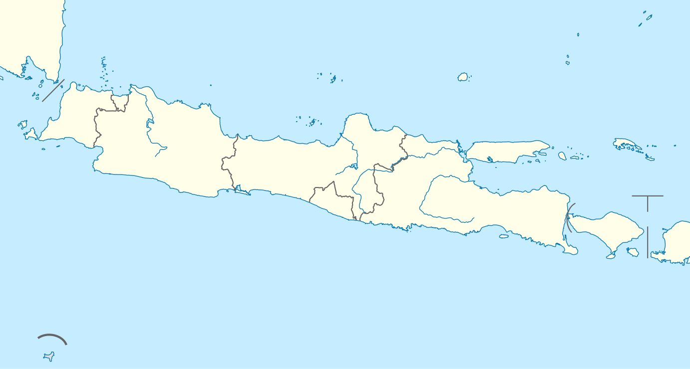
| waray pa kasasapawi | 20:34, 7 Pebrero 2011 | | 1,382 × 740 (174 nga KB) | NordNordWest | =={{int:filedesc}}== {{Information |Description= {{de|Positionskarte von Java, Indonesien}} Quadratische Plattkarte, N-S-Streckung 101 %. Geographische Begrenzung der Karte: * N: 3.0° N * S: 9.5° S * W: 123.7° O * O: 141 |
Mga Sumpay
An mga nasunod nga mga pakli nasumpay hini nga paypay:
Global file usage
An masunod nga iba nga mga wiki in nagamit hini nga file:
- Paggamit ha ar.wiki.x.io
- Paggamit ha azb.wiki.x.io
- Paggamit ha az.wiki.x.io
- Paggamit ha ban.wiki.x.io
- Candi Prambanan
- Gunung Ijén
- Gunung Merapi
- Merbabu
- Taman Nasional Gunung Halimun Salak
- Candi Sukuh
- Candi Mendut
- Taman Nasional Baluran
- Candi Pawon
- Candi Gedong Songo
- Gunung Kelud
- Mal:Location map Jawa
- Kawah Karaha
- Candi Barong
- Gunung Seméru
- Celuk Jakarta
- Celuk Pelabuhanratu
- Celuk Bandialit
- Celuk Banten
- Celuk Cilauteureun
- Celuk Ciletuh
- Celuk Lada
- Celuk Penyu
- Celuk Permisan
- Gunung Patuha
- Taman Nasional Bromo Tengger Seméru
- Taman Nasional Kapuloan Seribu
- Taman Nasional Gunung Merbabu
- Taman Nasional Gunung Merapi
- Taman Nasional Gunung Gedé Pangrango
- Taman Nasional Gunung Ciremai
Kitaa durudamo nga global usage hinin nga file.